A Compleat Map of North-Carolina from an Actual Survey (1770)
Item
-
Title
-
A Compleat Map of North-Carolina from an Actual Survey (1770)
-
Description
-
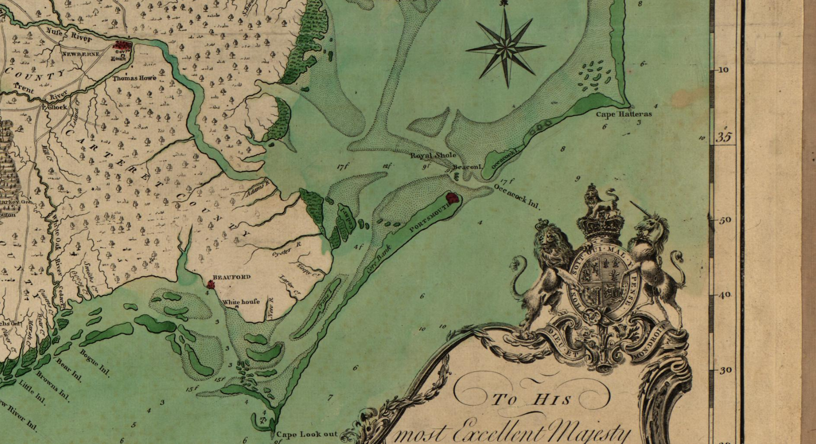
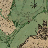
Shows rural householders' names. Library of Congress Maps of North America, 1750-1789, no. 1500. Relief shown by hachures. Depths shown by soundings. "Publish'd according to Act of Parliament, May the 1st, 1770, by S. Hooper, No. 25 Ludgate Hill, London." "To His most Excellent Majesty George the IIId ... this map is most humbly dedicated by ... John Collet." Includes royal coat of arms. Vault. Library of Congress has 2 copies. Coloration differs. Negative photocopy of copy 1 filed with maps.
-
Creator
-
John Collet. John Abraham Bayly.
-
Date
-
1770
-
Identifier
-
Library of Congress Geography and Map Division Washington, D.C. 20540-4650 USA dcu. Call Number/Physical Location G3900 1770 .C6. Library of Congress Control Number 83693769.
-
Language
-
English
-
Publisher
-
Samuel Hooper: London 1770. Library oc Congress.
-
Source
-
Collet, John, J Bayly, and S Hooper. A compleat map of North-Carolina from an actual survey. London: S. Hooper, 1770. Map. Library of Congress.
-
Source Link
-
Subject
-
North Carolina
 Portsmouth 1770 Map.png