Hondius and MercatorThe exhibit contains three maps depicting the coast of Florida to Virginia. These pieces are all based on Jodocus Hondius and Gerardus Mercator’s work. Mercator was the first to label a book of maps with the name atlas. This first atlas, Atlas Sive Cosmographicae Meditationes de Fabrica Mundi et Fabricati Figura, was improved upon and republished by Hondius after Mercator’s death. The plates used for these maps came into the hands of various other mapmakers and derivatives like the ones seen in the exhibit were created. |
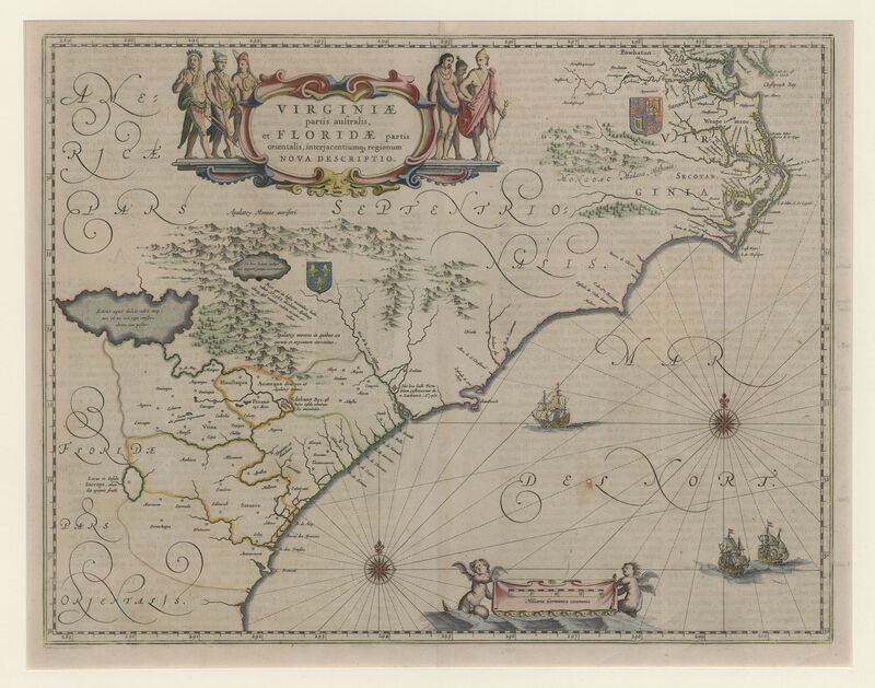
Virginiae Partis Australis, et Floridae Partis Orientalis, Interjacentiumq[ue] Regionum Nova Descriptio

Virginiae Partis Australis, et Floridae Partis Orientalis