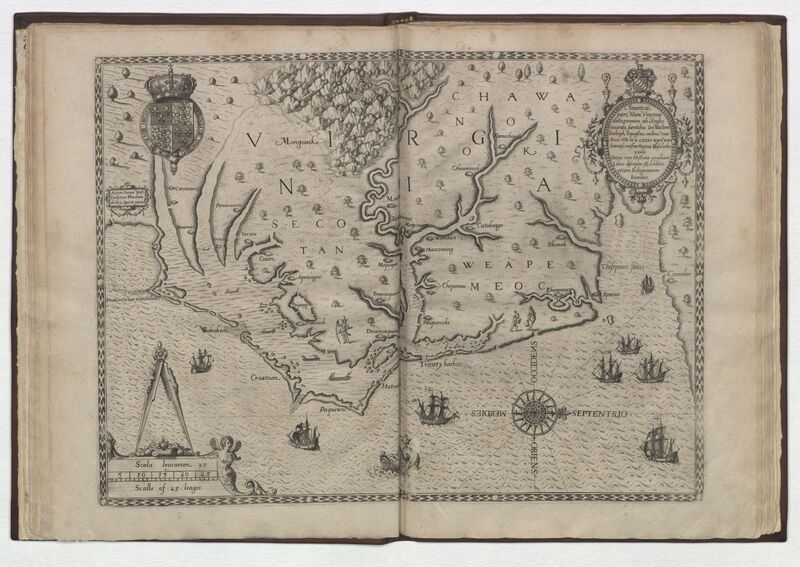
This map was included in the third printing of Thomas Harriot's A Brief and True Report of the New Found Land of Virginia published and engraved by de Bry. It was based on White’s original watercolor and was the most accurate and detailed map of the New World produced to date and the first map depicting coastal North Carolina.

